How to Prepare for a Compliant ALTA/NSPS Survey

[ad_1]

Preparing For An ALTA/NSPS Survey

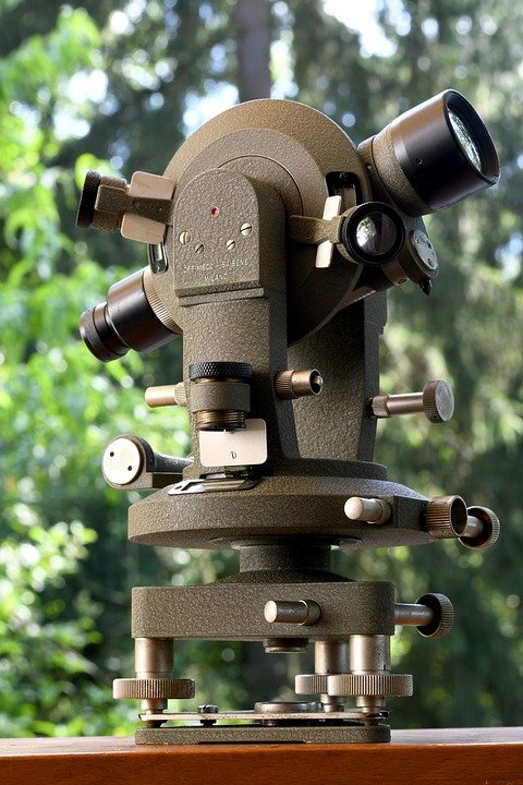
When preparing for a survey, it is important to understand what is included in an ALTA/NSPS survey. This type of survey is designed to provide a detailed and accurate description of a property. The surveyor is responsible for identifying boundaries, physical features, and other pertinent information about the land. These surveys are used for many different purposes, including determining property boundaries, assessing land use rights, and determining the size and shape of the land.

The purpose of an ALTA/NSPS survey is to provide a comprehensive, accurate, and compliant survey of a parcel of land. As such, it is important to be prepared for the surveyor’s visit. There are several steps that you can take to ensure that the survey is conducted properly and that the results are accurate.

Identify Important Documents

The first step in preparing for an ALTA/NSPS survey is to identify any important documents related to the property. This includes deeds, title searches, and other relevant records. It is important to have these documents on hand when the surveyor arrives, as they will be used as reference points for the survey.

Make Necessary Repairs

It is also important to ensure that all necessary repairs are made to the property prior to the survey. This includes any broken fences, missing posts, or other items that may affect the accuracy of the survey.

Check Property Boundaries

You should also check the property boundaries prior to the survey. Make sure that all boundary lines are clearly marked and visible. If you have any questions or concerns about the boundaries, contact your local surveyor to discuss them.

Be Prepared for the Surveyor

When the surveyor arrives, it is important to be prepared to answer any questions they may have. This includes providing them with any relevant documents, as well as providing them with directions to the property. If you have any questions or concerns about the survey, it is important to communicate them to the surveyor.

Follow Up After the Survey

Finally, it is important to follow up after the survey to ensure that the results are accurate. This includes checking the results against the original documents, as well as verifying that all boundary lines are clearly marked and visible.

By following these steps, you can ensure that your ALTA/NSPS survey is conducted properly and that the results are accurate. It is important to remember that this type of survey is designed to provide an accurate description of a property, so it is important to be prepared for the surveyor’s visit. By taking the time to prepare for the survey, you can ensure that the results are accurate and that the surveyor’s visit is successful.
[ad_2]

The Benefits of Utilizing ALTA/NSPS Surveys for Commercial and Residential Property Transactions

[ad_1]

The Benefits of Utilizing ALTA/NSPS Surveys for Commercial and Residential Property Transactions

The American Land Title Association (ALTA) and National Society of Professional Surveyors (NSPS) surveys are increasingly becoming the industry standard for commercial and residential property transactions. ALTA/NSPS surveys provide a comprehensive understanding of a property’s boundaries, features, and other important information. The survey is a vital part of the overall process of buying, selling, and managing a property.

What is an ALTA/NSPS Survey?

An ALTA/NSPS survey is a specialized mapping service that provides an up-to-date and accurate representation of the boundaries, features, and other important information about a property. The survey is conducted by a professional surveyor and often includes a written legal description of the property and a certificate of accuracy. The survey is used to confirm the boundaries of a property, identify any encroachments or access issues, and provide a record for title insurance.

Benefits of an ALTA/NSPS Survey

There are many benefits to utilizing an ALTA/NSPS survey for commercial and residential property transactions.

First, an ALTA/NSPS survey provides an accurate representation of the boundaries of the property. The survey will identify any potential encroachments or access issues and provide a legal description of the property. This information is essential for determining the value of the property and ensuring that the purchase or sale of the property is completed in compliance with local regulations.

Second, an ALTA/NSPS survey can be used to identify potential hazards or environmental issues that may affect the property. The survey will note any potential hazards such as underground storage tanks or hazardous waste, and provide the necessary information for addressing any issues.

Third, an ALTA/NSPS survey can be used to determine the value of the property. The survey will provide a detailed description of the property and its features, which can be used to calculate the property’s value. This information is critical for both buyers and sellers to determine a fair price for the property.

Finally, an ALTA/NSPS survey is essential for obtaining title insurance. The survey will provide a comprehensive description of the property and its boundaries, which is necessary to obtain title insurance. Title insurance provides protection for the buyer and seller in the event of any disputes that may arise from the purchase or sale of the property.

Conclusion

The ALTA/NSPS survey is an essential part of the process of buying, selling, and managing a property. The survey provides a comprehensive understanding of the property’s boundaries, features, and other important information, which is essential for determining the value of the property and obtaining title insurance. The benefits of utilizing an ALTA/NSPS survey for commercial and residential property transactions are numerous, and every property transaction should include an ALTA/NSPS survey.
[ad_2]