[ad_1]
Utilizing Flood Report Data to Improve Disaster Mitigation Strategies
When a natural disaster strikes, it is essential that disaster relief and response teams have the most up-to-date and accurate information available in order to respond effectively. Flooding is one of the most common natural disasters, and having accurate flood report data is essential for effective disaster mitigation strategies.
The Benefits of Utilizing Flood Report Data
The use of flood report data provides several benefits for disaster relief and response teams. First, accurate and up-to-date flood report data can help teams identify areas that are at risk of flooding and determine the best course of action to mitigate the effects of flooding. This data can also provide insight into the potential severity of a flood, allowing teams to develop more effective strategies to minimize its impact. Additionally, flood report data can help teams identify areas that are more prone to flooding, enabling them to better prepare for future disasters.
How to Collect and Utilize Flood Report Data
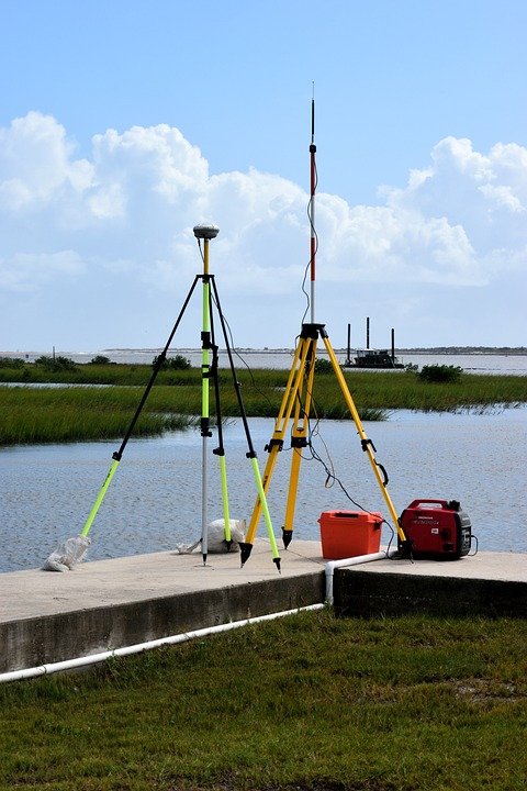
There are several different methods that can be used to collect and utilize flood report data. One of the most common methods is through the use of remote sensing technology, such as satellites and aerial photographs. This type of technology can provide detailed information about the terrain of an area and help identify areas that are at risk of flooding. Additionally, communities can also collect data through the use of ground-based sensors, such as flood gauges, which can provide detailed information about water levels in a particular area.
The data collected through these methods can then be used to create flood maps, which can be used to identify areas that are prone to flooding. Additionally, this data can be used to create evacuation plans, which can help to minimize the effects of a flood. By analyzing the data collected through these methods, disaster relief and response teams can develop more effective strategies to mitigate the effects of flooding.
Conclusion
Utilizing flood report data is essential for effective disaster mitigation strategies. By collecting and analyzing data through the use of remote sensing technology and ground-based sensors, disaster relief and response teams can develop more efficient strategies to minimize the effects of flooding. Additionally, this data can help identify areas that are prone to flooding, allowing communities to better prepare for future disasters. By utilizing flood report data, teams can be better equipped to respond to and mitigate the effects of flooding.
[ad_2]


