The Benefits of Utilizing Topographic Surveys

[ad_1]

What Is a Topographic Survey?

A topographic survey is an incredibly useful tool that allows professionals to collect data about the surface of the Earth. The survey is conducted by taking measurements of various features of the land, including contours, elevations, boundaries, and slopes. The data collected can then be used to create a topographical map, which shows an accurate representation of the land’s features.

What Are the Benefits of Utilizing Topographic Surveys?

Topographic surveys provide a variety of benefits to the user. Here are some of the most significant benefits of utilizing topographic surveys:

1. Accurate Information

One of the main advantages of topographic surveys is that they provide highly accurate information about the land. The measurements taken from the survey are precise and can be used to create detailed maps that show features such as contours, elevations, boundaries, and slopes. This level of detail is not possible with other types of surveys.

2. Cost-Effective

Topographic surveys are also cost-effective. They require minimal equipment and personnel, making them an affordable option for surveying a large area of land. Additionally, the data collected can be used multiple times, which helps to reduce costs in the long run.

3. Time-Saving

Topographic surveys are also time-saving. The data collected is available almost immediately, which means that decisions can be made quickly and accurately. Furthermore, the data can be used to create detailed maps of the land, which can be used for planning purposes or other activities.

4. Versatility

The data collected from a topographic survey can be used for a variety of purposes. It can be used to create detailed maps for planning, engineering, or construction projects. It can also be used to assess geological features in order to determine the best site for a new development.

5. Safety

Topographic surveys are also beneficial for safety purposes. The data collected can be used to identify potential hazards, such as cliffs, steep slopes, and hazardous terrain, which can then be avoided. This helps to ensure that workers and the general public remain safe.

Conclusion

Overall, topographic surveys are an invaluable tool that can provide a variety of benefits. They are accurate, cost-effective, time-saving, versatile, and beneficial for safety purposes. As such, they should be considered for any project that requires a detailed understanding of the land.
[ad_2]

Comparing Different Topographic Survey Methods

[ad_1]

Comparing Different Topographic Survey Methods

Topographic surveys are important tools for collecting information about the land and its features. They are used to create detailed maps and plans of a given area. There are several different topographic survey methods available, and each has its own advantages and disadvantages. In this article, we will compare some of the most common topographic survey methods to help you decide which one is the best fit for your project.

GPS Surveying

GPS surveying is a type of topographic survey method that uses a global positioning system (GPS) to determine the position and elevation of points on the earth’s surface. This method is especially useful in areas where access is limited or difficult. GPS surveying is also relatively quick and cost effective compared to other methods. However, it is not as accurate as some of the other methods and can be difficult to use in areas with tall trees or buildings.

Total Station Surveying

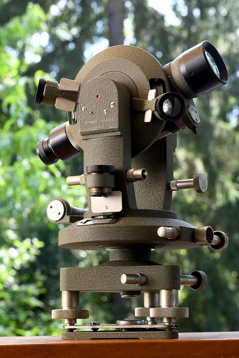
Total station surveying is a type of topographic survey method that uses an electronic theodolite to measure distances and angles. This method is more accurate than GPS surveying and is often used to create detailed plans. The main disadvantage of total station surveying is its cost. It is often more expensive than GPS surveying, especially if the survey needs to cover a large area.

Aerial Photography Surveying

Aerial photography surveying is a type of topographic survey method that uses aerial photographs to create detailed maps of an area. This method is often used in addition to other survey methods. Aerial photography surveying is quick, cost effective, and provides detailed information about the land. However, it is not as accurate as total station surveying and can be difficult to use in areas with tall trees or buildings.

LiDAR Surveying

LiDAR surveying is a type of topographic survey method that uses laser rangefinding technology to measure distances. This method is often used to create high-resolution maps of an area. It is accurate, fast, and cost effective compared to other methods. However, it is not as accurate as total station surveying and can be difficult to use in areas with tall trees or buildings.

Conclusion

When deciding which topographic survey method is best for your project, it is important to consider the accuracy, speed, and cost of each method. GPS surveying is a good option for projects that require quick and cost effective results, while total station surveying is the most accurate but also the most expensive. Aerial photography surveying is often used in addition to other methods, while LiDAR surveying is a good choice for projects that require high-resolution maps.
[ad_2]

Understanding Topographic Surveys: What a Land Surveyor Needs to Know

[ad_1]

Understanding Topographic Surveys: What a Land Surveyor Needs to Know

Topographic surveys are an integral part of land surveying and it is essential for land surveyors to understand what topographic surveys involve, and how to accurately and effectively use them to provide accurate measurements and data. Topographic surveys are used to map out the land, including its elevation, contours, and features, and are commonly used for construction, engineering, and environmental planning.

What is a Topographic Survey?

A topographic survey is a survey that measures the physical features of a piece of land, such as its elevation, contours, and features. It is a detailed survey that is used to accurately map out the land and its features in order to provide measurements and data for construction, engineering, and environmental planning. It is important to note that a topographic survey is different from a boundary survey, which is used to determine the boundaries of a piece of land.

Types of Topographic Surveys

There are several different types of topographic surveys available, depending on the specific needs of the project. The most common type of topographic survey is a planimetric survey, which measures the horizontal features of the land, such as the elevation, contours, and features. Another type of topographic survey is a topographic-photogrammetric survey, which uses aerial photography to measure the land from a bird’s eye view. Finally, a hydrographic survey measures the depth and contours of bodies of water, such as rivers and lakes.

Tools Used in Topographic Surveys

The tools used in topographic surveys vary depending on the type of survey being performed. For example, a planimetric survey will typically use a total station, which is a surveying instrument that uses laser technology to measure the distance and elevation of the land. For a topographic-photogrammetric survey, aerial photography is used to measure the land from a bird’s eye view. Finally, a hydrographic survey will typically use sonar technology to measure the depth of water.

Process of a Topographic Survey

The process of a topographic survey typically begins with the land surveyor establishing survey control points, which are used as reference points for the survey. The surveyor then collects data by taking measurements of the land using the appropriate surveying tools. Once the data is collected, it is then compiled into a map or report that is used to accurately measure the land and provide measurements and data for construction, engineering, and environmental planning.

Benefits of a Topographic Survey

Topographic surveys are an essential tool for land surveyors and can provide many benefits. A topographic survey can provide accurate measurements and data, which can be used to plan out construction projects, engineering projects, and environmental planning projects. Additionally, topographic surveys can be used to identify hazards and risks on the land, such as hazardous terrain or unstable structures.

Conclusion

Topographic surveys are an important tool for land surveyors, and it is essential for land surveyors to understand what topographic surveys involve and how to accurately and effectively use them. Topographic surveys provide accurate measurements and data, which can be used for construction, engineering, and environmental planning projects. Additionally, topographic surveys can be used to identify hazards and risks on the land.
[ad_2]